Princes Elisabeth Antarctic Climate Experiment
Automatic Weather Stations
This project is also a tribute to Konrad Steffen who contributed significantly in building the science setups in the Arctic and Antarctica.
This project has a unique set of weather stations on a 250 km long line from the Antarctic cost to the Rondane Mountains
The stations are all nearly equal. They are built around a Campbell Scientific CR1000 with:
An ARGOS satellite transmitter in each of the stations uploads the data regularly to the ARGOS satellite system.
The ARGOS satellite that picks up the signal, forwards the data to a International Polar Foundation server and that is where you get the data
Can't wait to see the meteorological data? Click here
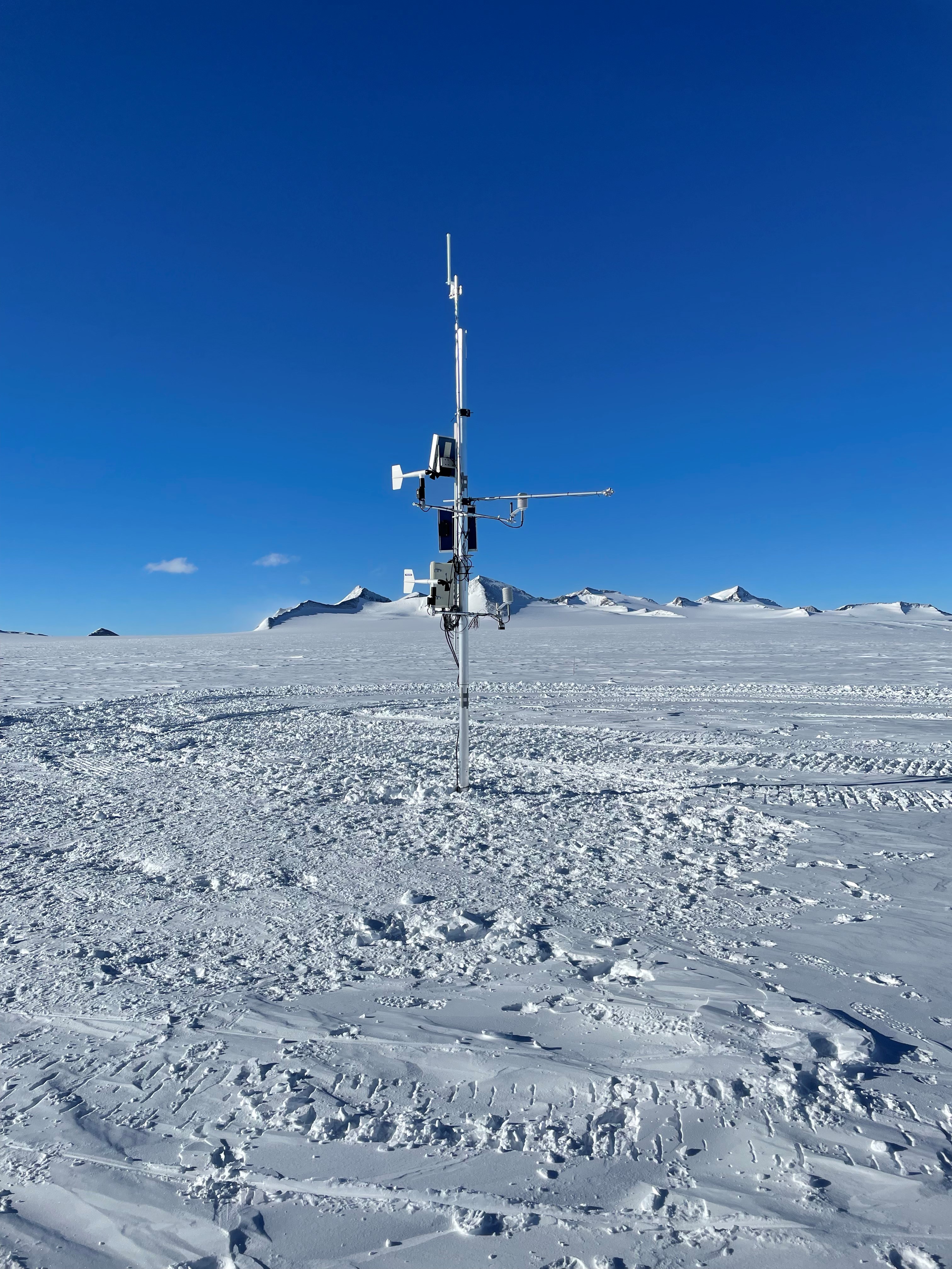
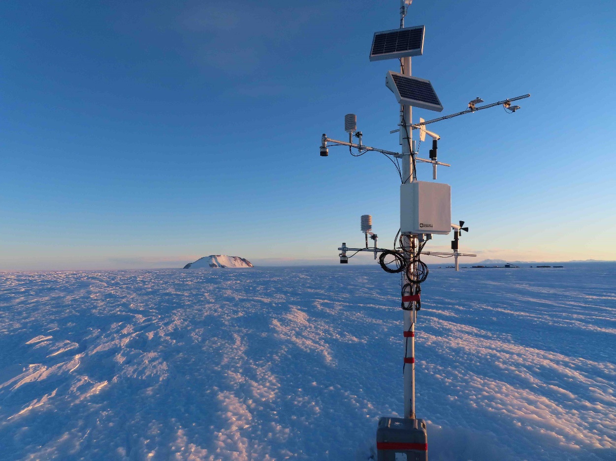
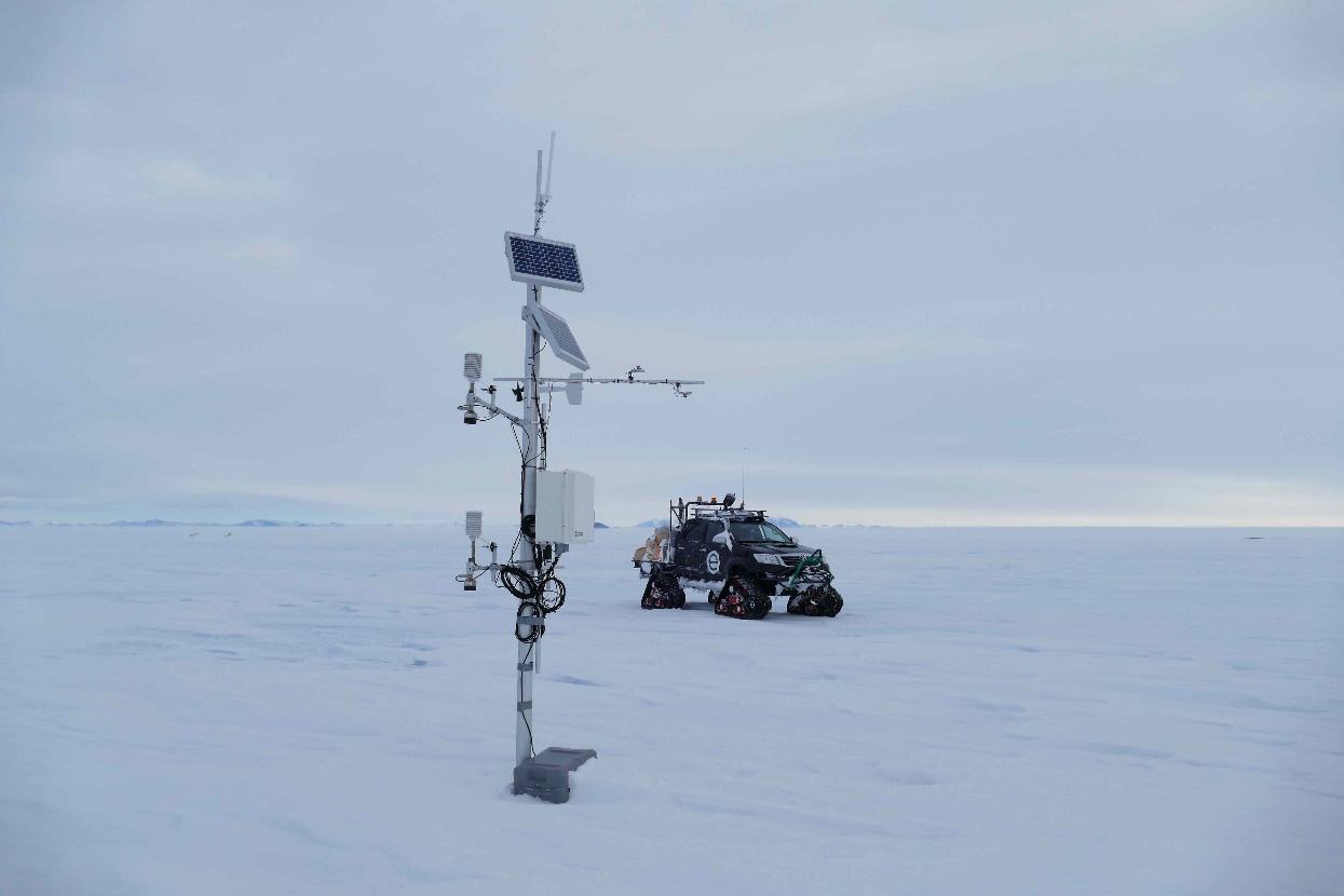
A couple of pictures of the installed weather stations:
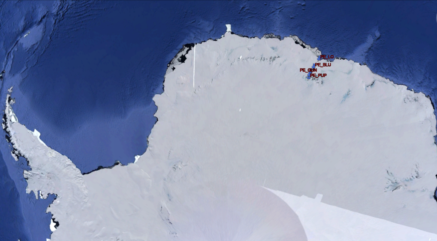
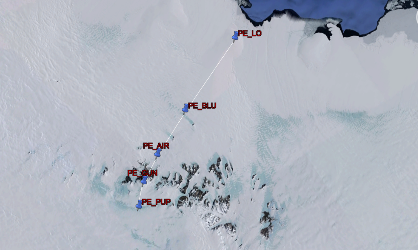
The weather stations are located here:
| Station name | Station description | Year of Installation | Position |
|---|---|---|---|
| PE_LO | Ice rise/ Coast | 2021 | 24.06720 E 70.53840 S |
| PE_PUP | Plateau Upper | 2021 | 23.41851 E 72.50228 S |
| PE_GUN | Plateau Gunnestadbreen | 2013 | 23.24475 E 72.25561 S |
| PE_BLU | Blue Ice area / Perseus | 2014 | 23.55460 E 71.41973 S |
| PE_AIR | Air strip near Princess Elisabeth Station | 2013 | 23.30083 E 71.94747 S |
Or as shown by Google Earth:
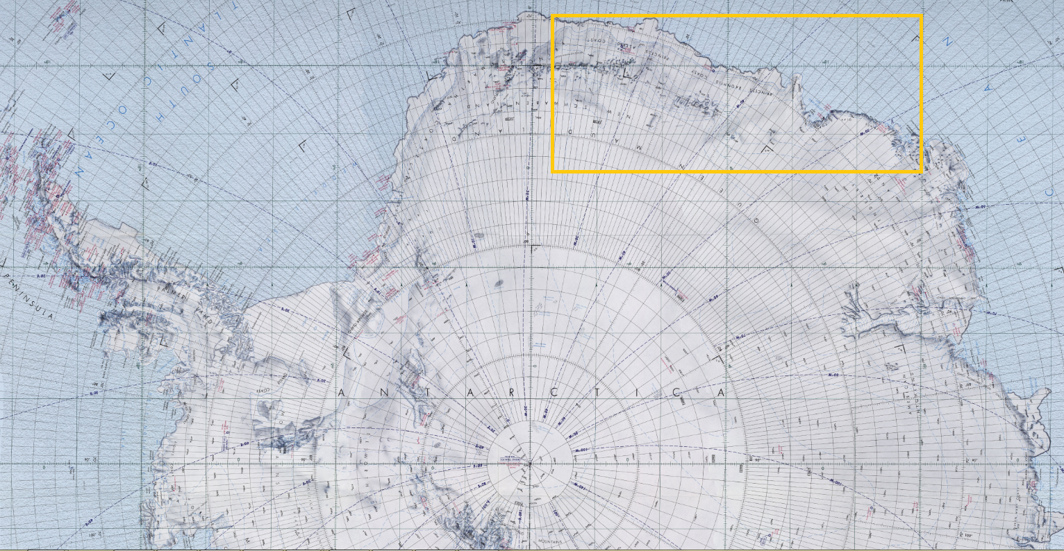
Or as shown approximately on the map:

5. Meteorologic data
We would like to express our gratitude to the partners who made the realization of this project possible
Other projects under the PEACE project: