Polarstern / CAML expedition: scientific investigations in the Larsen A and B area
Fortunately, researchers that are concentrating their scientific investigations on the former Larsen ice shelf area can report successful achievements for this weekend. But at the beginning of the week things didn't look as promising. After arriving at the eastern Antarctic Peninsula our first task was to deploy an oceanographic mooring. This device will assist in elucidating how currents have changed since the collapse of the ice shelf, allowing scientists to estimate how this influenced the food supply to inhabitants of the seafloor. In order to record these data as long as possible the deployment was scheduled for the very beginning of the ecological working program. Using satellite-derived ice charts as reference, we chose an ice-free area in the vicinity of Larsen A for deployment of the mooring.
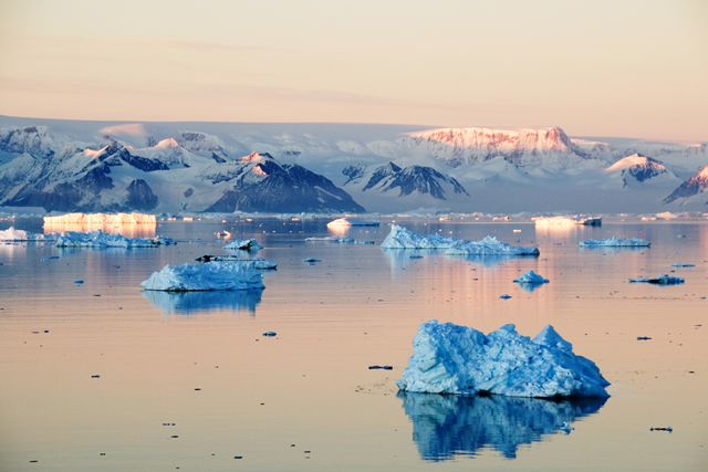
A reconnaissance flight by helicopter confirmed the satellite data. We arrived at our proposed destination Monday night. In the meantime the sea ice had become significantly denser. Incorporated into the sea ice were huge and bizarre fragments of icebergs and glaciers. Antarctica's extraordinary landscape remains a delight to many. Unfortunately there was no opportunity to deploy the mooring. In a very short time the tides pushed the sea ice toward a small peninsula dotted with cone-shaped mountains which are covered with remnants of the ice shelf.
We turned around to get as quickly as possible to the Larsen B area which is situated due south. On our way south, we were trapped in another particularly dense ice field but this time for two entire days. Because of bad weather conditions no helicopter reconnaissance flight was possible. We were out of the ice as suddenly as we were trapped in it two days ago. Finally, we started our ecological working program with a sequence of various scientific investigation devices in the early hours of Thursday. Our aim was to deploy all gear at the same geographical location in order to be able to compare data sets and interpret as a team. The challenge of such an integrated approach to studying the seafloor is that not all types of sediment are present at all times. The first dives with the ROV, in the shallow water, revealed that the seafloor is characterized by rocks.
Fauna that settle on such hard substrates are very ecxiting to specialists dealing with these kinds of animals; however, those that are investigating animals of the Larsen B ecosystem that are living in soft muddy bottoms cannot deploy their scientific gear on this rough terrain. Fortunately, we found a nearby deeper trough that had accumulated large amounts of soft sediment. This way and under almost optimal conditions we were able to work up the different components of the local marine ecosystem of the first core station during the first two days. Still, the unifying scientific question is how did the fauna respond to the regional climate change? At last Enrique's mooring was deployed but now in the Larsen B area. Once again we were spoiled by sunny weather; this not only is beneficial to the already very good atmosphere aboard the Polarstern but also eases the workload considerably. In addition, we are surrounded by a panorama of mountain tops and glaciers. Yesterday, we steamed to the second core station where scientific gear of the same sequence was deployed.
Quickly, the anxiety of deploying the gear for the first time was replaced by routine.
On behalf of all scientists, greetings from the Polarstern
Yours Julian Gutt