


GIANT
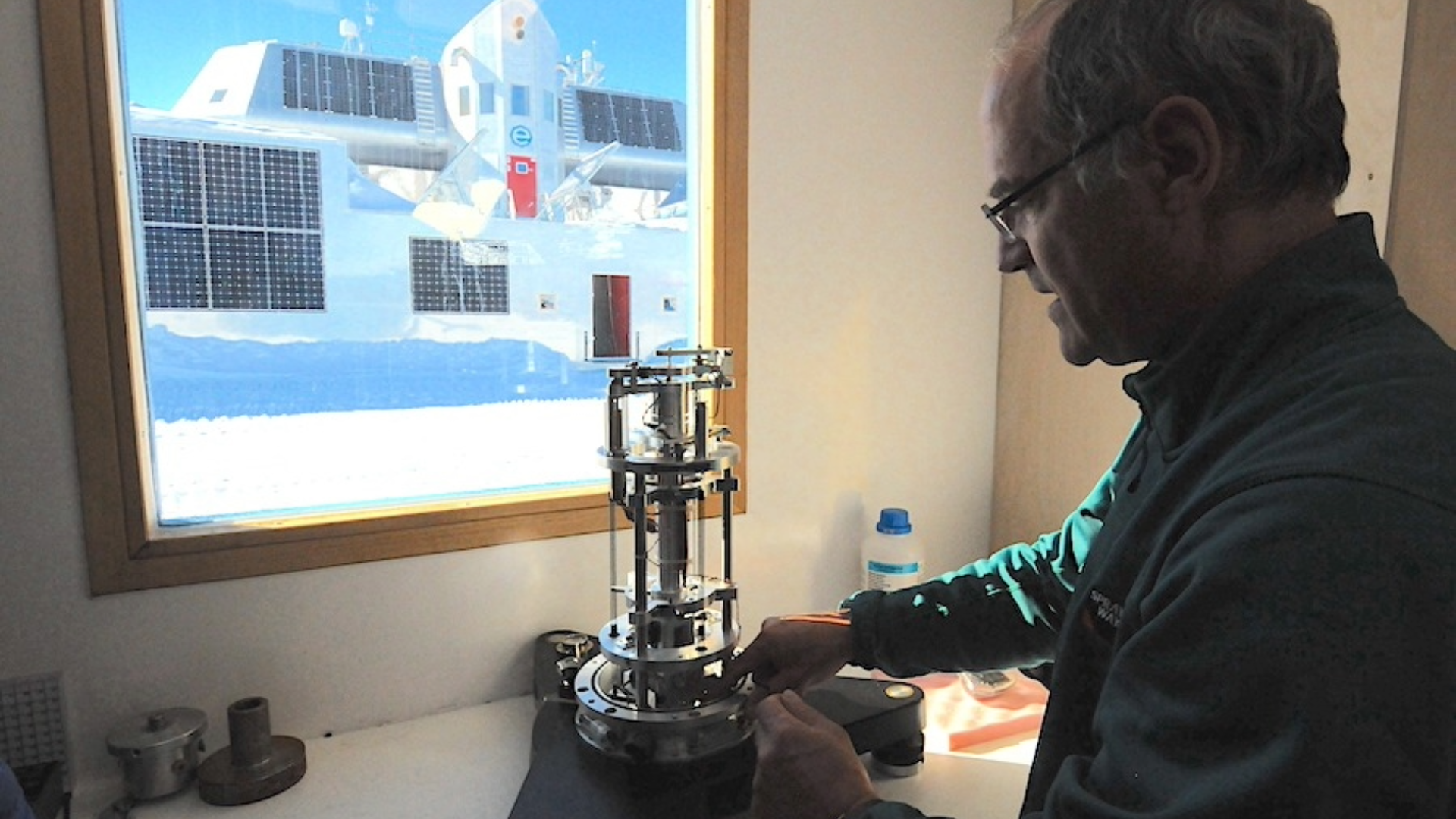
GIANT (Geodesy for Ice in Antarctica) is a long-term geophysical research project that investigates how changes in the Antarctic Ice Sheet affect the Earth's surface. By combining geodetic, gravimetric and seismic observations, the project helps scientists better understand the relationship between ice mass changes, crustal deformation and climate change.
As glaciers gain or lose ice, their immense weight causes the Earth's crust to deform. Some of these movements are the result of the gradual recovery of the crust following the end of the last Ice Age, while others are linked to present-day changes in the Antarctic Ice Sheet driven by a changing climate. By continuously monitoring both the horizontal and vertical movement of the Earth's surface, GIANT enables researchers to distinguish between these different processes and improve estimates of Antarctic ice mass balance.
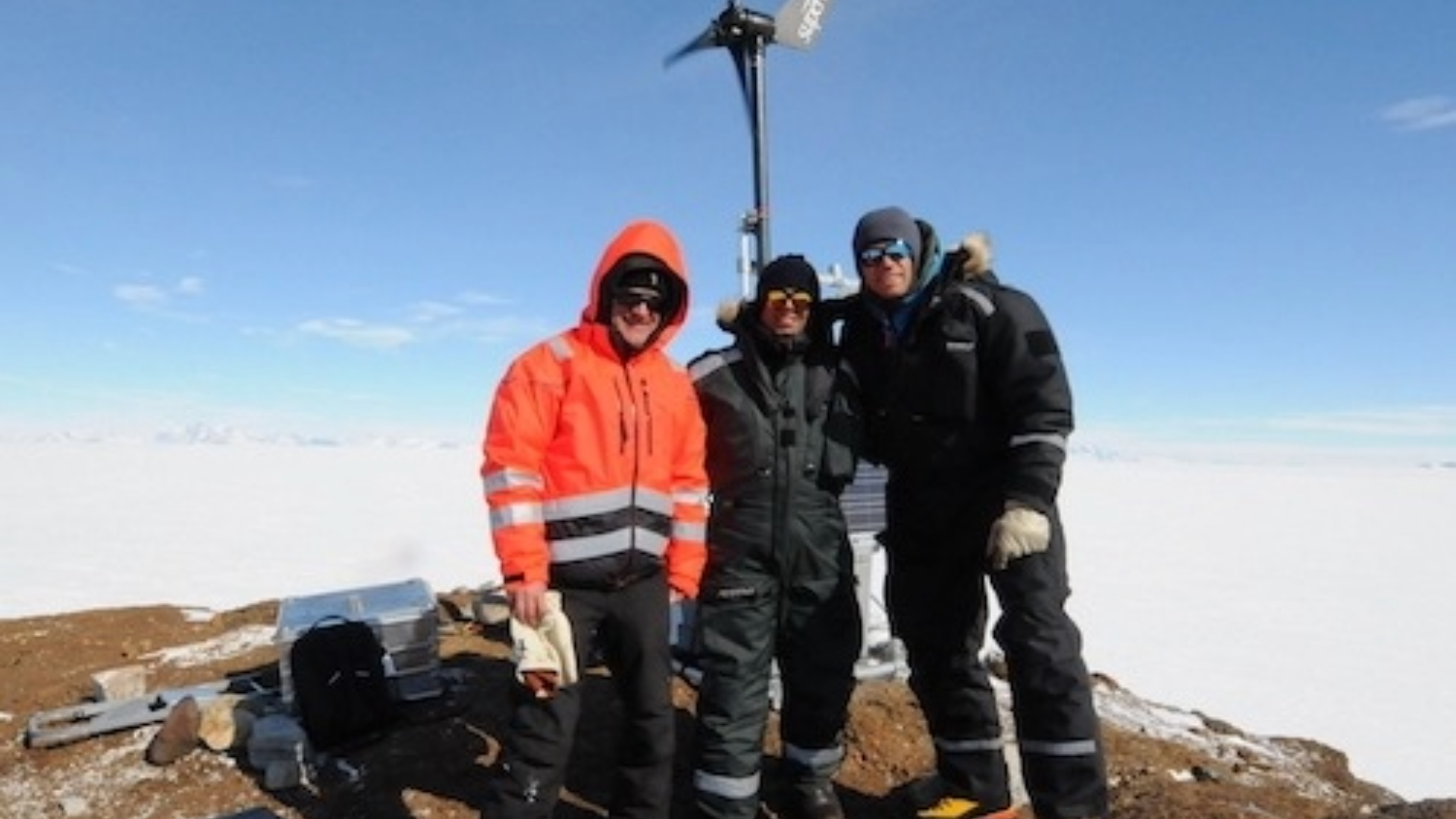
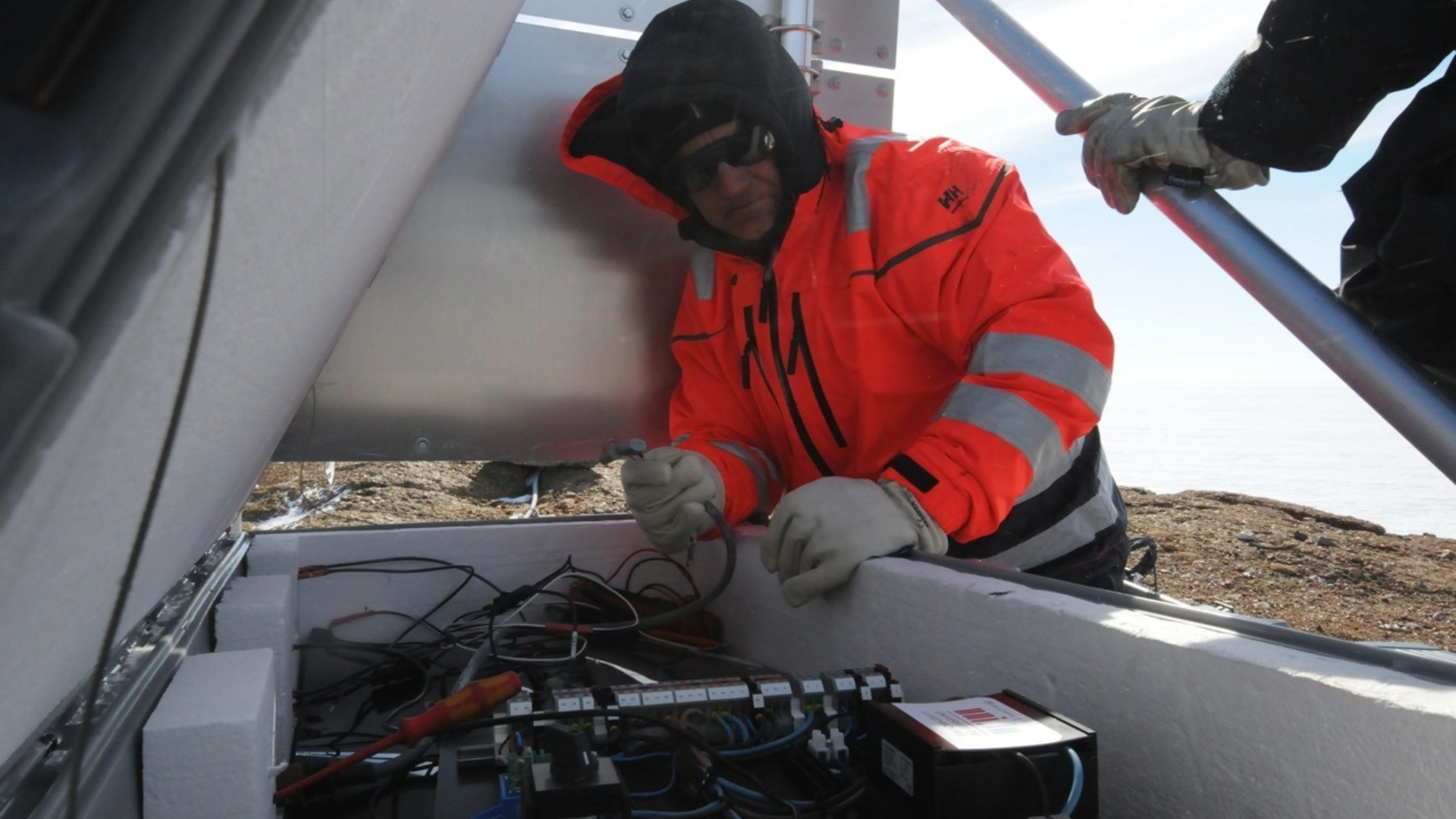
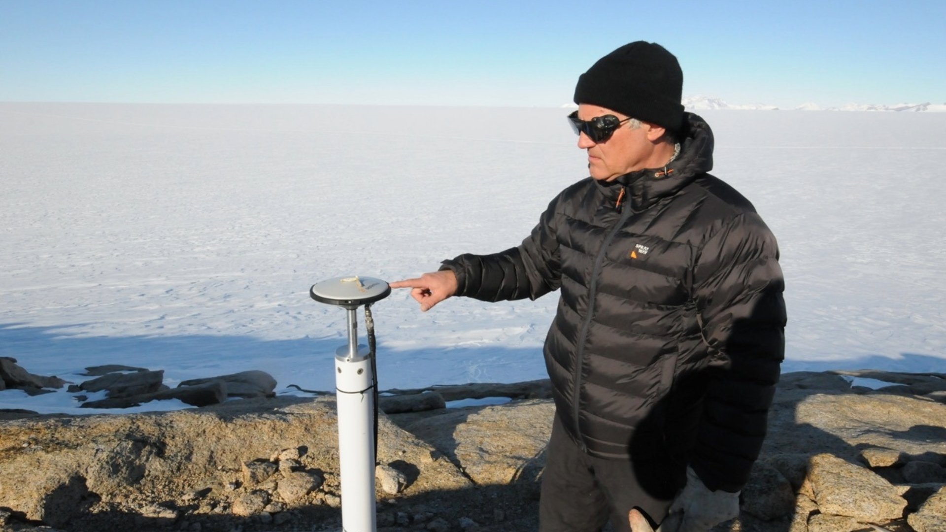
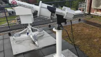
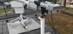
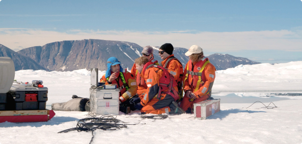
The project operates a network of high-precision Global Navigation Satellite System (GNSS) stations near Princess Elisabeth Antarctica. Together with gravimetric and seismic observations, these measurements provide valuable information about crustal movement, glacial isostatic adjustment and the dynamics of the Antarctic Ice Sheet. The resulting datasets also contribute to improving satellite-based observations and geophysical models.
Beyond its glaciological applications, GIANT contributes to a broader understanding of Antarctica's geological structure and tectonic evolution. The long-term observations support international research into Earth's interior, plate tectonics and the interaction between the solid Earth and the polar ice sheets, providing valuable insights into both past and ongoing environmental change.