


NISAR
The NISAR project investigates the interactions between the Antarctic Ice Sheet and the surrounding ocean, with a particular focus on grounding zones; the transition areas where glaciers leave the land and begin to float as ice shelves. These regions play a critical role in determining the stability of the Antarctic Ice Sheet and its contribution to future sea-level rise.
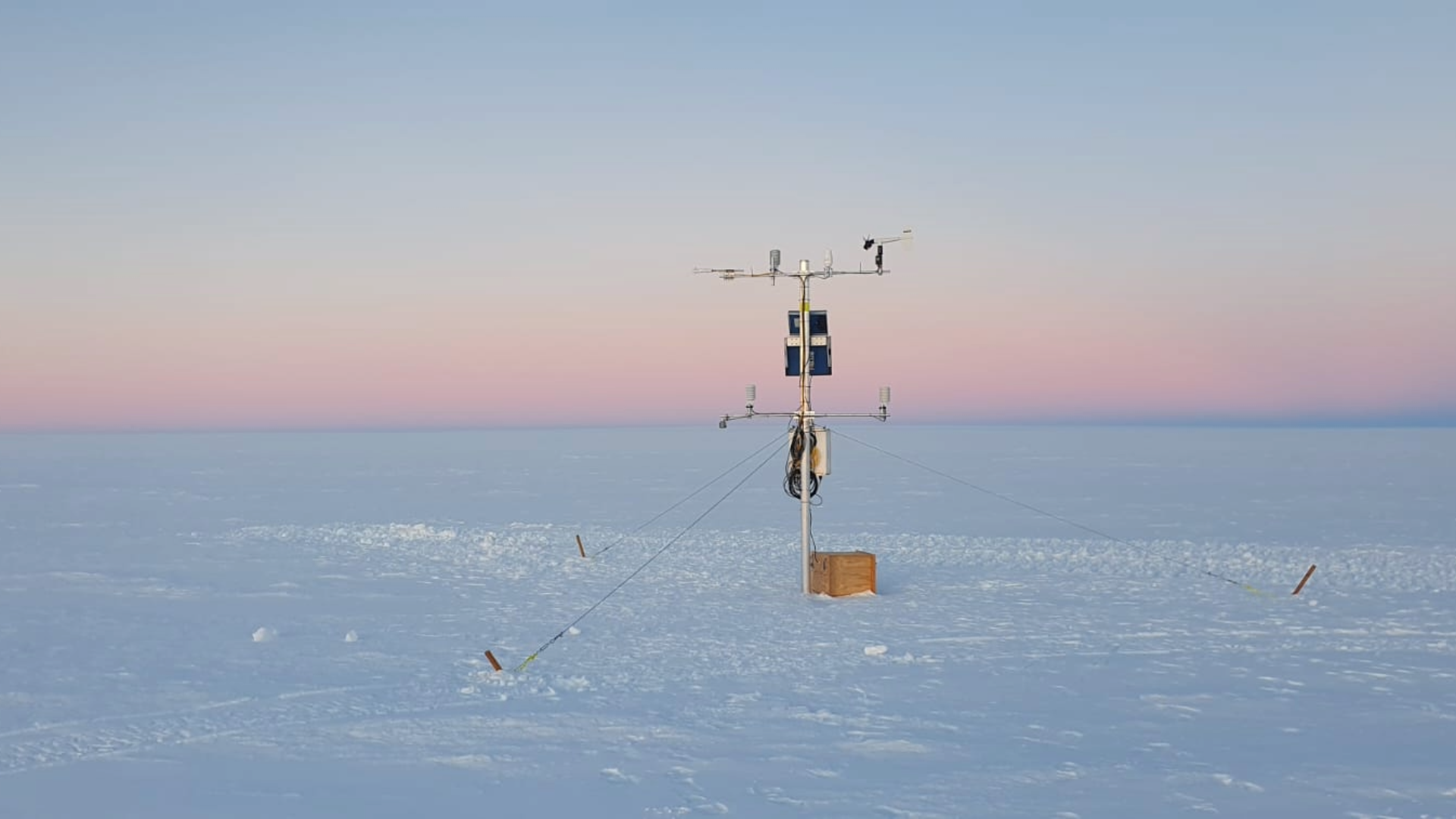
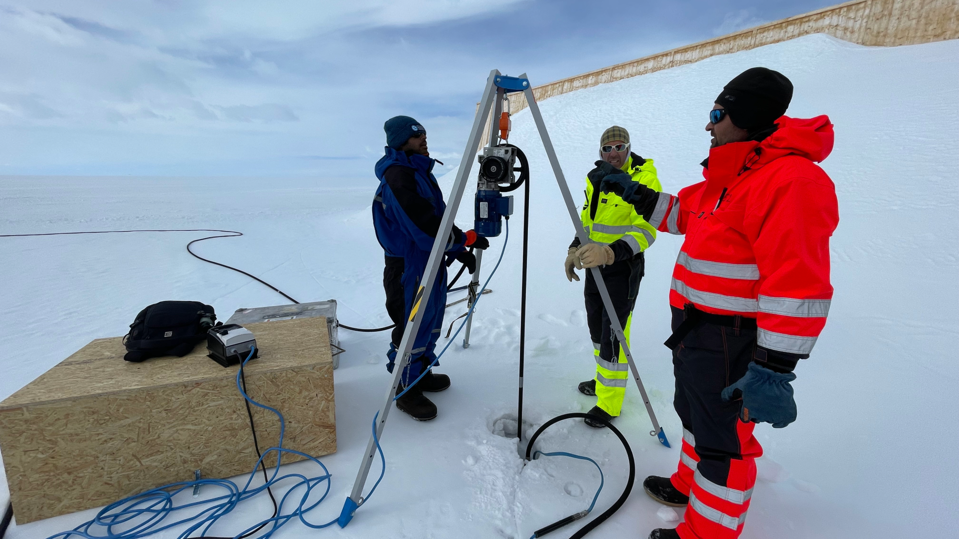
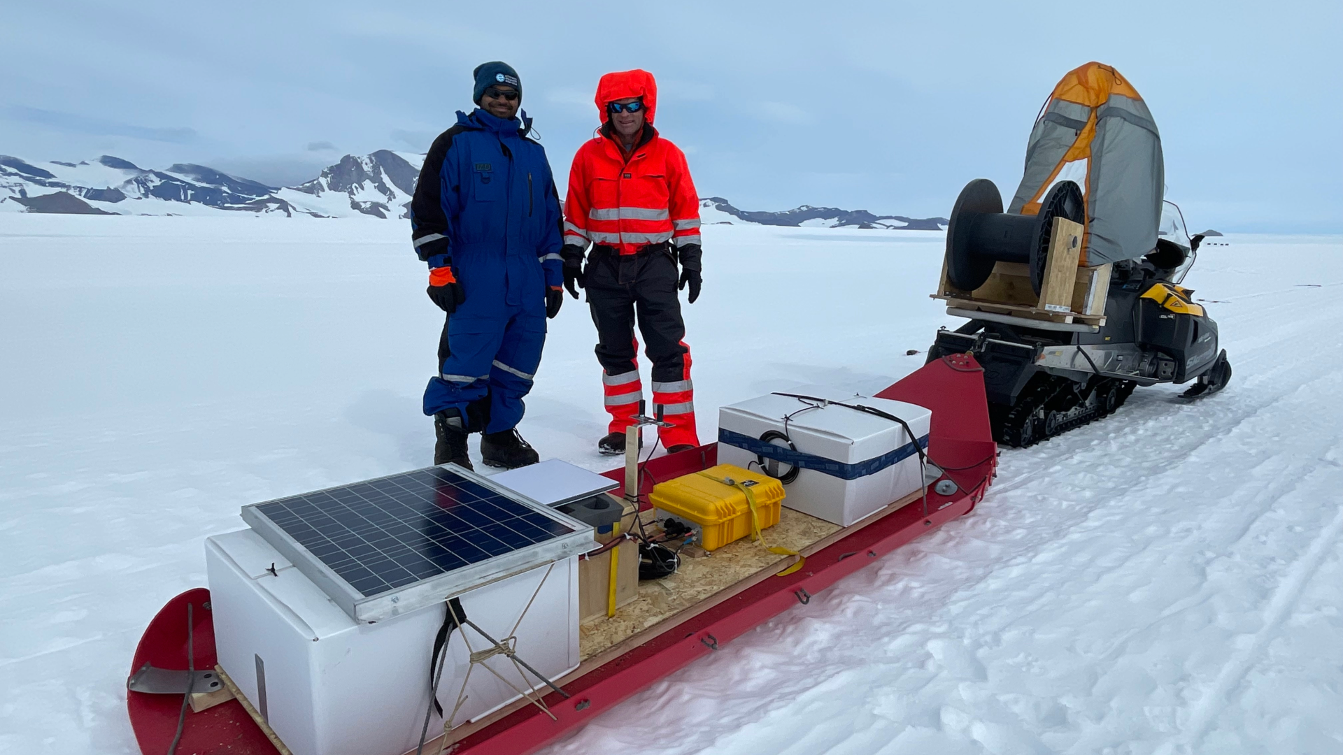
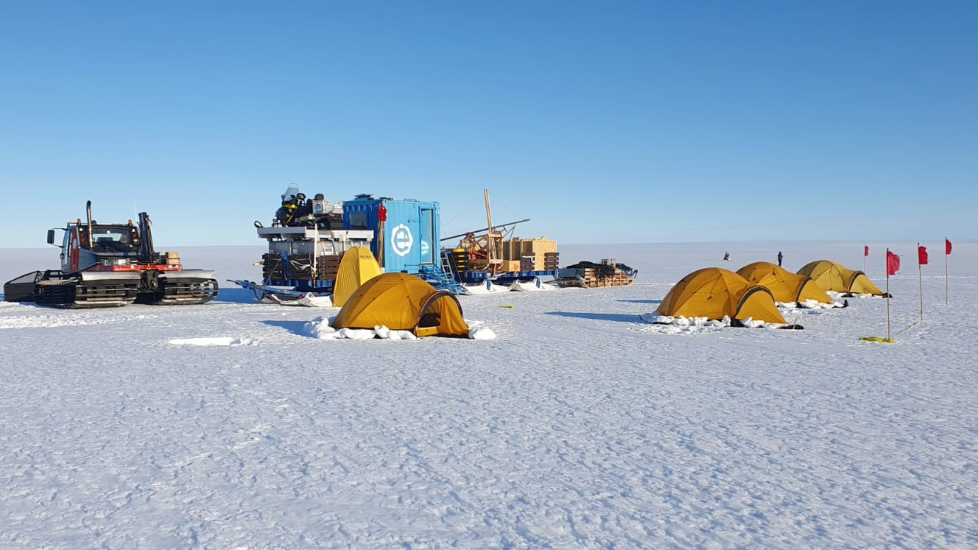
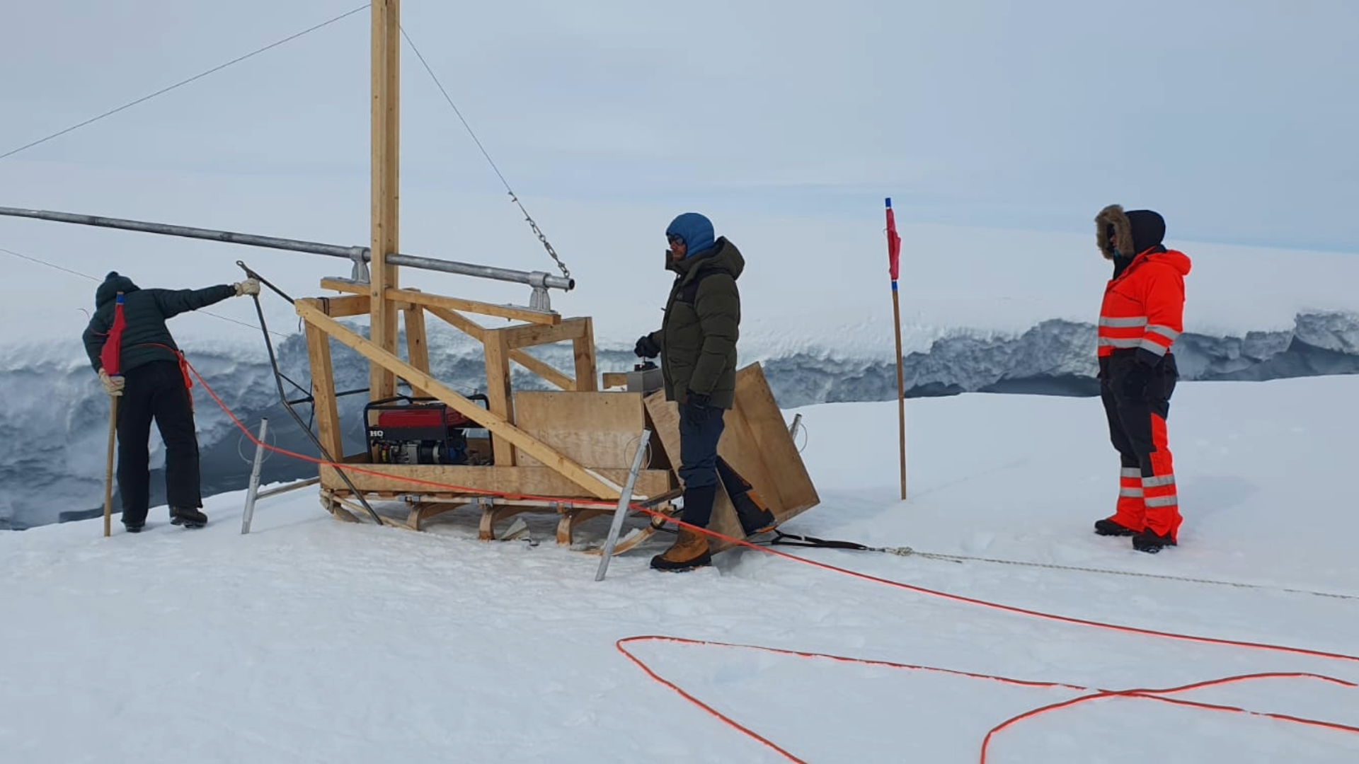
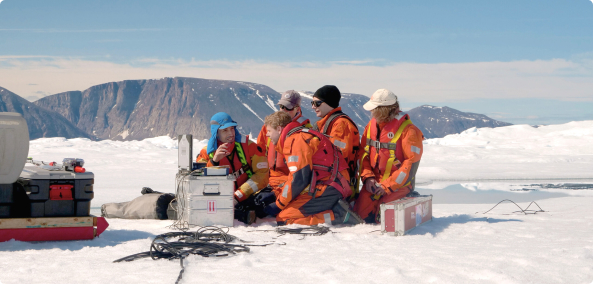
The project combines field measurements with satellite observations to better understand how ocean water influences ice melt beneath ice shelves and how grounding lines migrate over time. Radar sounding, GNSS observations and other in situ measurements are used to monitor changes in ice thickness and evaluate satellite-derived estimates of ice shelf melt from missions such as NISAR and ICESat-2.
By improving our understanding of ice–ocean interactions and the physical processes occurring within grounding zones, the project provides valuable data for refining ice-sheet models. The results also complement broader international research efforts, helping scientists better assess the future evolution and stability of Antarctica's coastal ice sheets.