


QUEEN MAUD LAND RADAR SURVEY
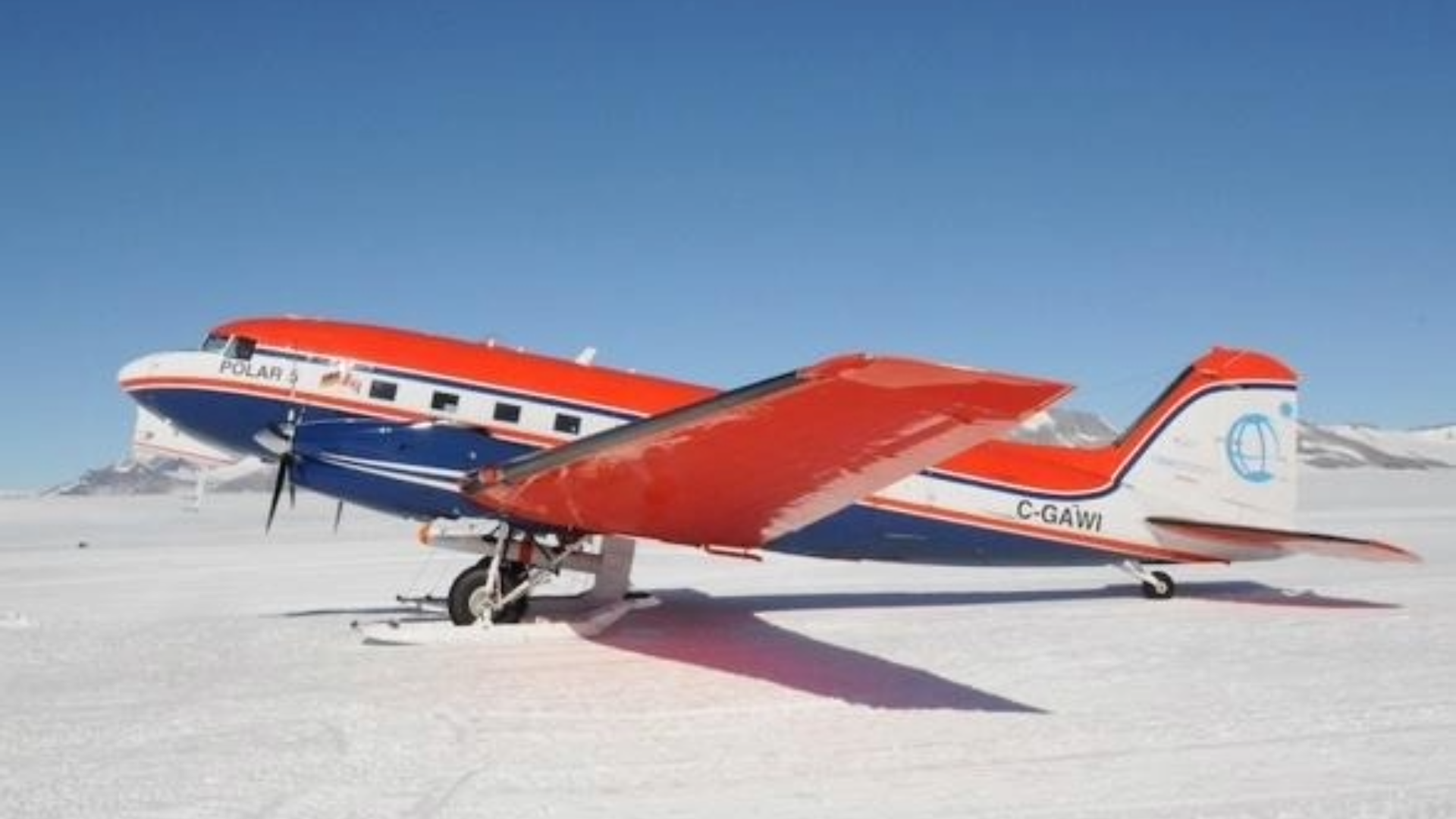
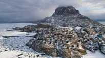
The Queen Maud Land Radar Survey is an airborne research project led by the Alfred Wegener Institute (AWI) that investigates the formation and distribution of platelet sea ice along the coast of East Antarctica. Using airborne radar surveys, the project maps these unique ice layers to improve our understanding of Antarctic coastal processes and their response to climate change.
Platelet ice forms beneath or near Antarctic ice shelves and creates porous layers of ice that provide an important habitat for algae, bacteria and other marine organisms. These environments serve as sheltered nursery grounds for young fish and play a significant role in supporting Antarctic marine food webs. Scientists have observed that the formation and extent of platelet ice are changing as ocean temperatures increase, making long-term monitoring increasingly important.
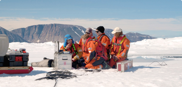
By conducting aerial radar surveys along the Queen Maud Land coastline, researchers can identify where platelet ice forms and monitor how its distribution changes over time. These observations help improve our understanding of the interactions between the ocean, sea ice and ice shelves, while providing valuable information for predicting how Antarctic coastal ecosystems may respond to future climate change.